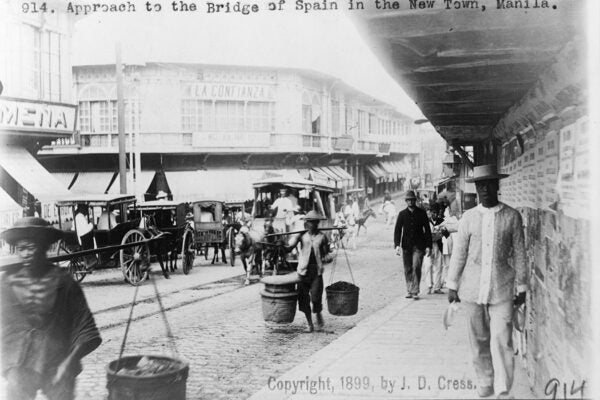
The twenty-first-century traveler is more likely to post an image to social media than mail postcards to friends and family, but the postcard isn’t dead. In 2019, 59.5 million postcards were printed in the European Union alone, and travel influencers still recommend picking up these printed souvenirs as keepsakes. Most will probably disappear into the recycling bin, but those that don’t may one day offer historians a collection of flat paper windows into the past.


Weekly Newsletter
"*" indicates required fields
The Changing Face of Southern California is one such collection. Featuring selections from Loyola Marymount University’s Werner von Boltenstern Postcard Collection, the postcards document the history of Southern California, particularly the greater Los Angeles area, during the first half of the twentieth century.


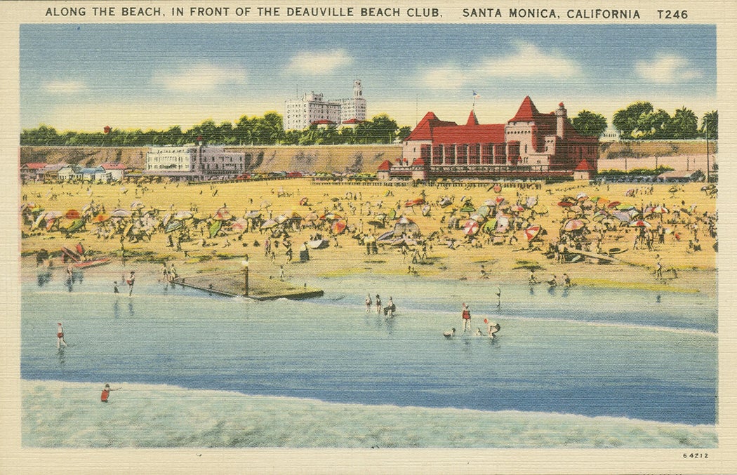
As librarian Bernadette A. Lear notes, postcards are artifacts of several national phenomena, capturing—at a minimum—changes in travel, printing technology, and postal regulations. After 1898, when the US Congress lowered the rate for mailing postcards to one cent, postcards based on black-and-white photographs flooded the souvenir market. From there, it was only a matter of time before the overprinting of colored inks gave buyers a “more authentic” color view. By the 1930s, the linen postcard, which offered a textured finish that supported bold, bright colors and was less expensive to produce, dominated the market. “By turns commercially garish, vibrantly alive or shimmeringly unreal, the [linen] postcard offered an ideal medium for expressing the democratic aspirations and utopian expectations of a culture that refused to abandon its ‘look-on-the-sunny-side’ optimism despite the ravages of the Depression and the Second World War,” writes historian Jeffrey L. Meikle.
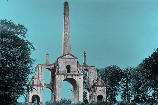
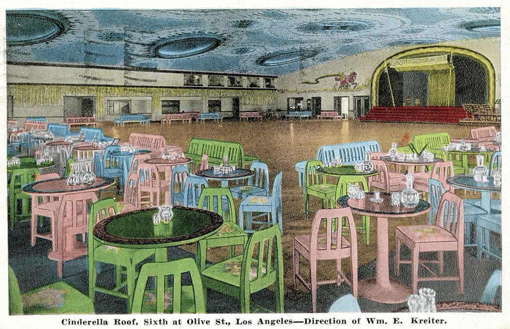
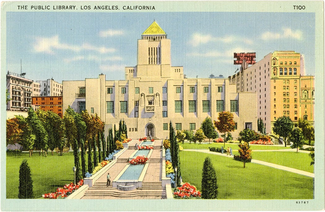
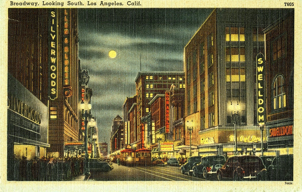
Some of this optimism is reflected in the subject matter of the souvenirs. Many cities sold postcards that featured important buildings—in the case of Los Angeles, the new City Hall and the Los Angeles Library, designed by architect Bertram Goodhue, appeared on cards with some regularity. “Libraries embodied many civic assets,” notes Lear, “including the community’s commitment to free public services, the value it placed on education and self-improvement, and the wealth and generosity of the neighborhood.” Combining civic and commercial architecture with nightlife added even more complexity to the narrative, posits Miekle, communicating to the viewer “the speed of transportation, the stimulation of desire through window-shopping, and the unprecedented personal privacy and anonymity of modern life.”
As Larissa Larsen and Lily Swanbrow explain, though postcards posed as an “everyday artifact” that accurately represented the cultural landscape, “the image of place depicted on a postcard often ha[d] a contrived quality.” Photographers, both professional and amateur, bracketed out undesirable elements, focusing on the unique, the exotic, or the romantic, while evolving technologies provided a means to produce scenes more brilliant than the actual attractions. Even so, they note, “Postcards of similar views but from different dates in time can illustrate how the cultural landscape evolve.”
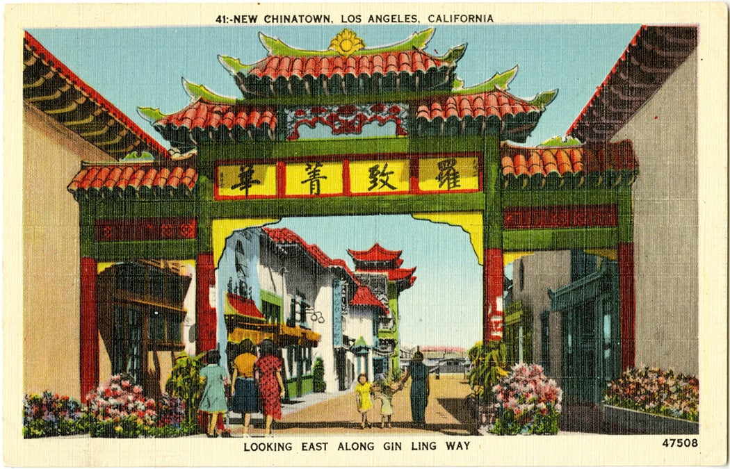
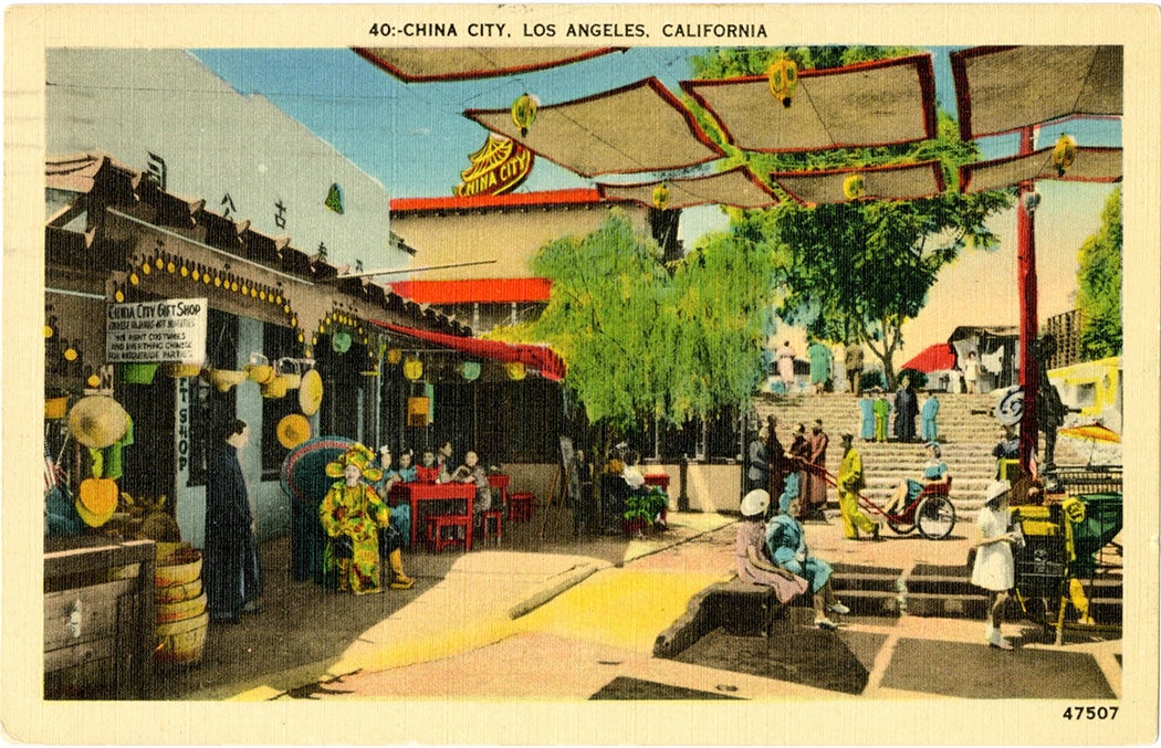
One such example of an evolving cultural landscape can be seen in the numerous postcards of LA’s Chinatown. According to preservationist and public historian Josi Ward, from 1939 to 1949, Los Angeles in fact contained three Chinatowns. One centered on Alameda and Macy Streets, consisted of the remnants of the city’s earliest Chinese immigrant neighborhood which dated back to the 1880s. In the 1930s, most of the buildings in this area were demolished to make way for the new Union Station, and thus “Old Chinatown” is missing from souvenir views. Instead, postcards depict one of two “new” Chinatowns: China City, which was designed and developed under the guidance of Christine Stirling, who also created Mexican-themed Olvera Street across from Union Station; and New Chinatown, a Chinese-owned residential and commercial district two blocks northeast of China City. Both were inaugurated in 1938 and advertised themselves—especially to tourists—as an authentic replacement for the original Chinese immigrant community.
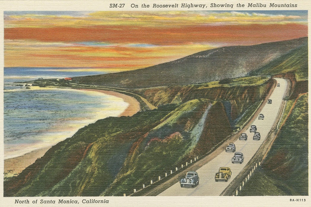
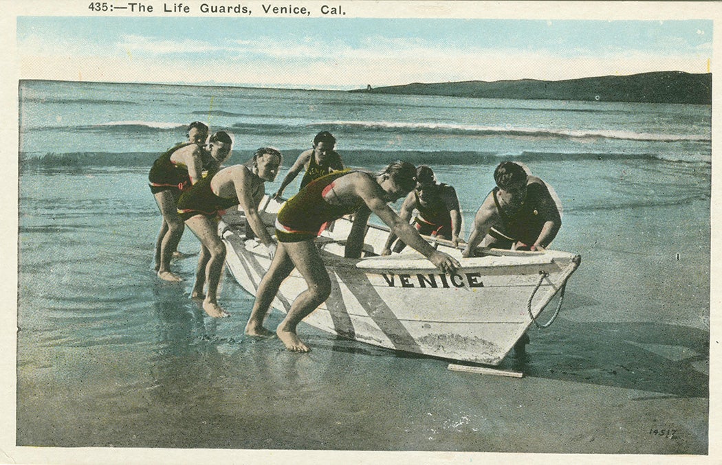
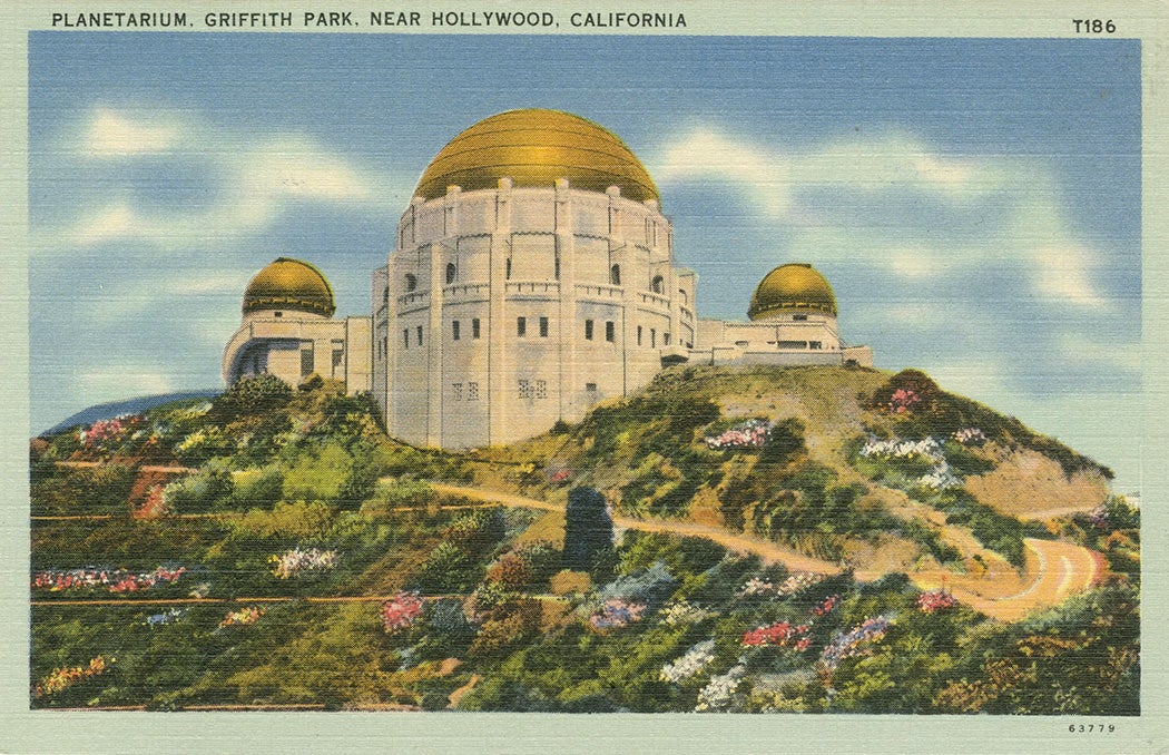
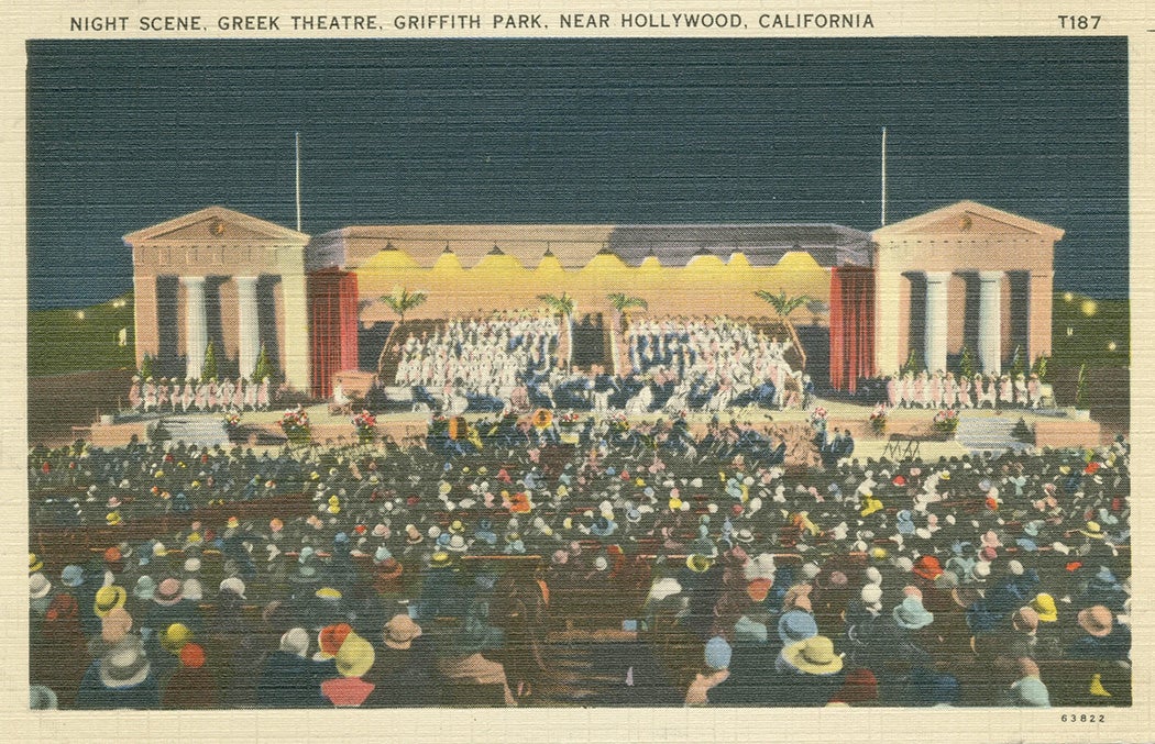
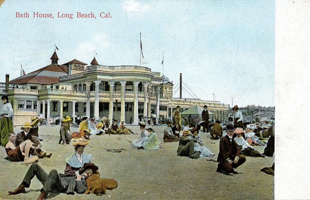
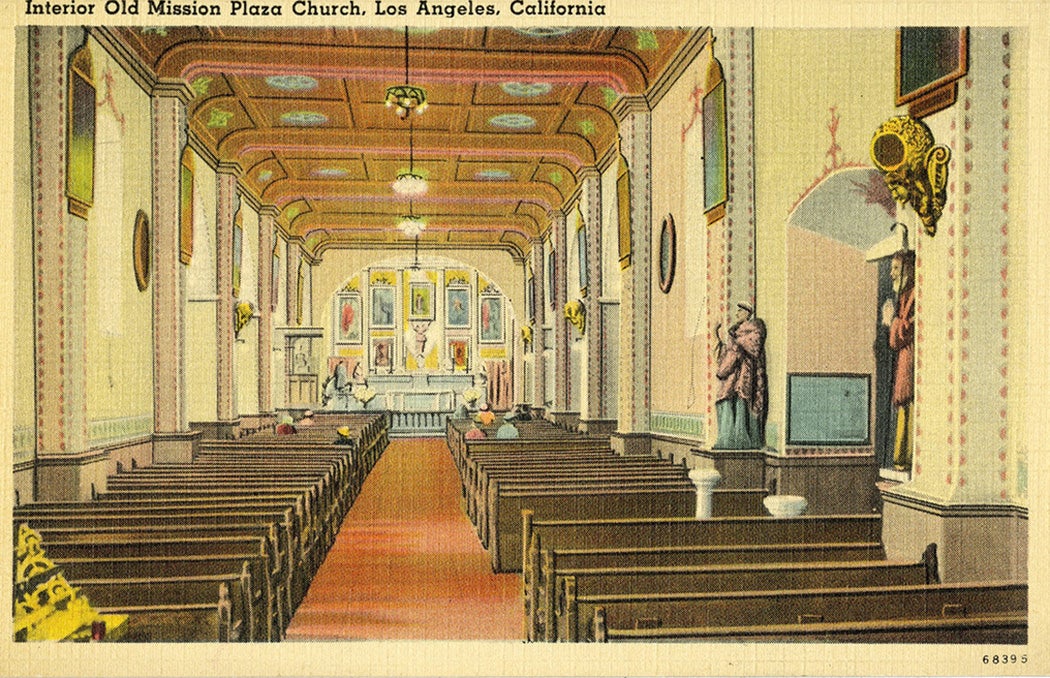
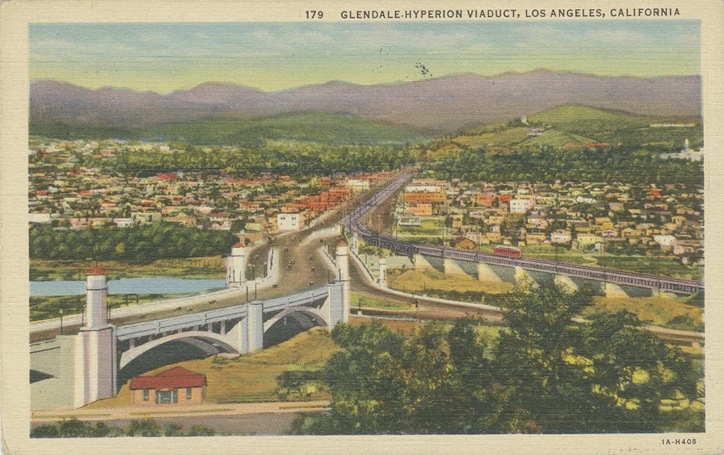
The Changing Face of Southern California delivers on the promise made by its name. In addition to Chinatown streetscapes and city monuments, the archive shows prominent businesses (Bullock’s, Robinson Co.), resorts, parks, celebrities’ homes, amusement parks and rides (including the no-longer-extant “Shoot the Chutes” in downtown LA), earthquakes, transportation, religious institutions, schools, and general views. The postcards shared here represent only a small sampling of what’s available—you can browse the entire collection via the William H. Hannon Library at Loyola Marymount University.
Editor’s Note: This collection is no longer available via JSTOR; the links have been updated to reflect this.