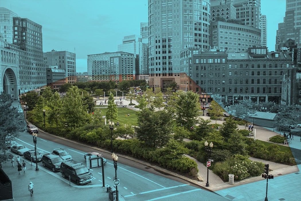
The Rose Kennedy Greenway in Boston, Massachusetts, is a notable example of an urban reversal of the 1950s and 1960s highway expansions that occurred across the United States that dissected many cities into sections and separated neighborhoods. The Greenway replaced an elevated highway full of cars with a large urban park for Boston’s residents and visitors. However, as construction came to an end and the Greenway officially opened in 2008, critics questioned whether it could live up to expectations.


The Rose Kennedy Greenway is a linear park that stretches just over a mile through multiple Boston neighborhoods, including Chinatown, the Financial District, the Wharf District, and the North End. It was designed to revitalize space left over from Boston’s Central Artery/Tunnel Project, better known as the “Big Dig.” This project took the elevated section of Interstate 93, a six-lane highway completed in 1959 that ran through central Boston, and turned it into an underground expressway.
The elevated highway was a congested eyesore that physically divided Boston’s urban center. Its removal created valuable open space in highly desirable locations, and the Greenway was envisioned as a way to reconnect the existing urban spaces. Images from the Rose Kennedy Greenway Collection at the Boston Architectural College Library, shared via JSTOR, document the park’s development and design, offering visual insight into its transformation and its role in reshaping the city.
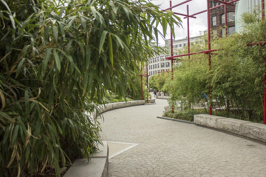
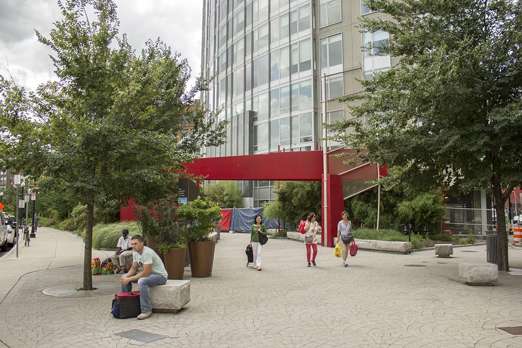
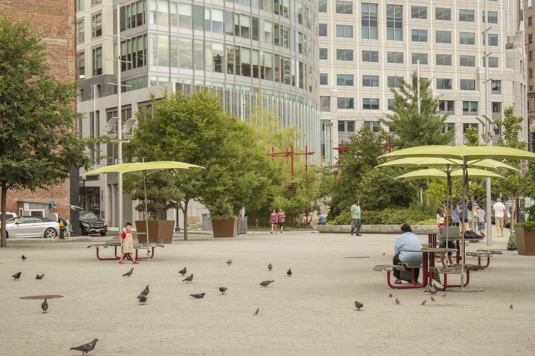
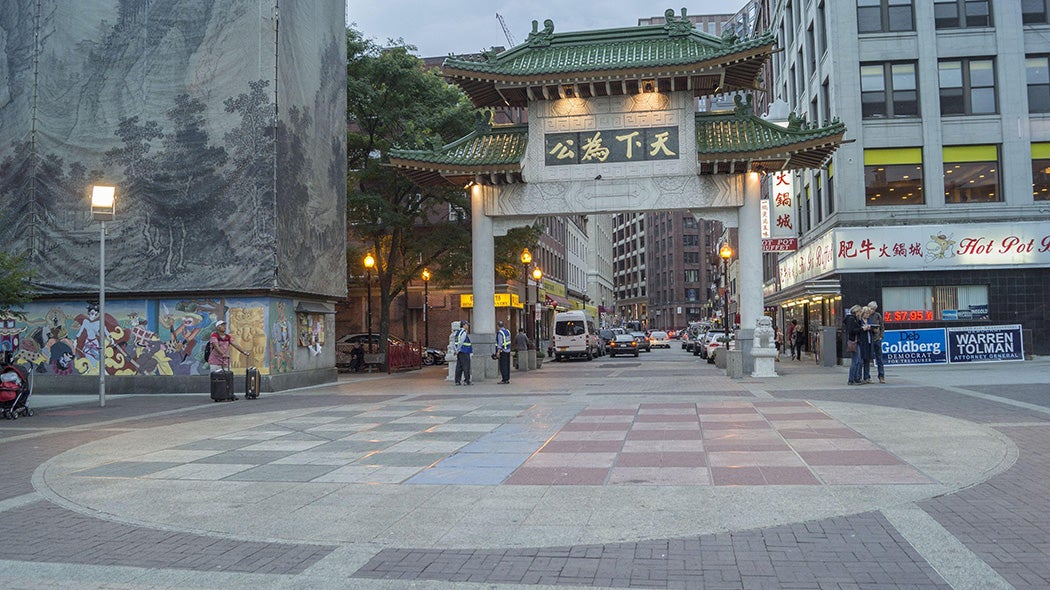
In his review of the Greenway, journalist Marty Carlock questions the cohesiveness of the space’s design. “The Big Dig was sold to the taxpayers as a way to knit the city back together,” Carlock writes, “ replacing an overhead expressway with parks. The greenway is an uneasy truce: Pedestrians still have to traverse six lanes of traffic to approach the harbor, and the greenway itself is sliced with a cross street every block. The temptation to jaywalk is huge.”
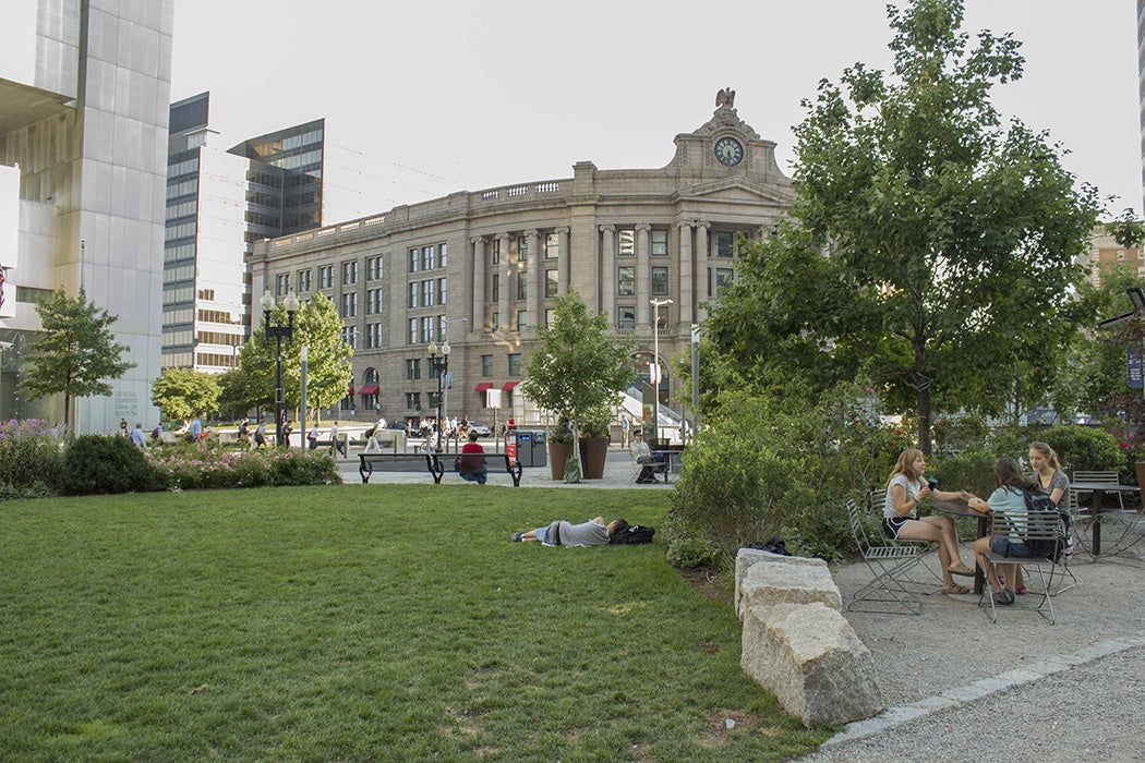

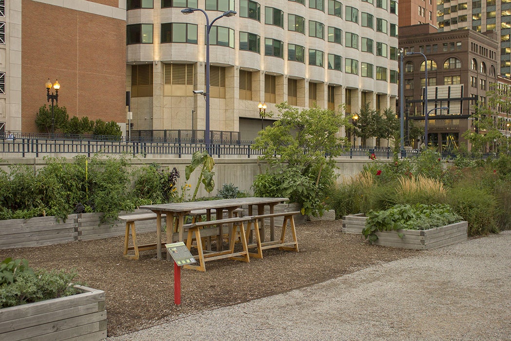
In its linear design, the Greenway functions as four distinct parks along the same path. The four sections, Chinatown Park, Dewey Square Parks, Wharf District Parks, and North End Parks, were each designed by different landscape architects and each has its own personality. Critics like Carlock have noted that the space can feel disjointed for pedestrians, as roadways and cars still have the urban authority.
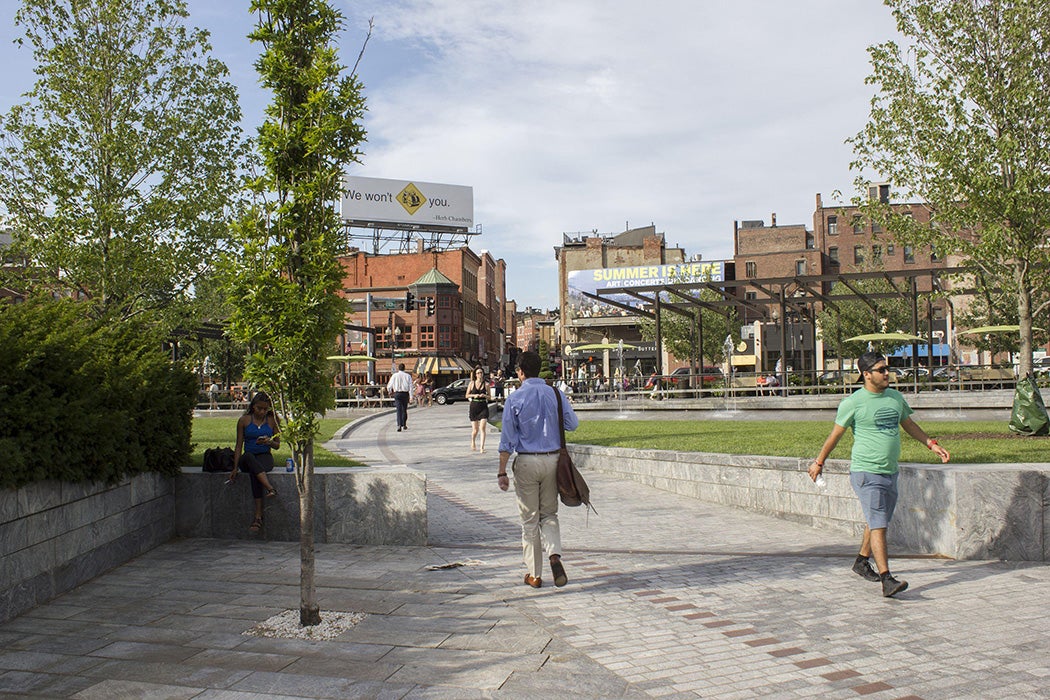
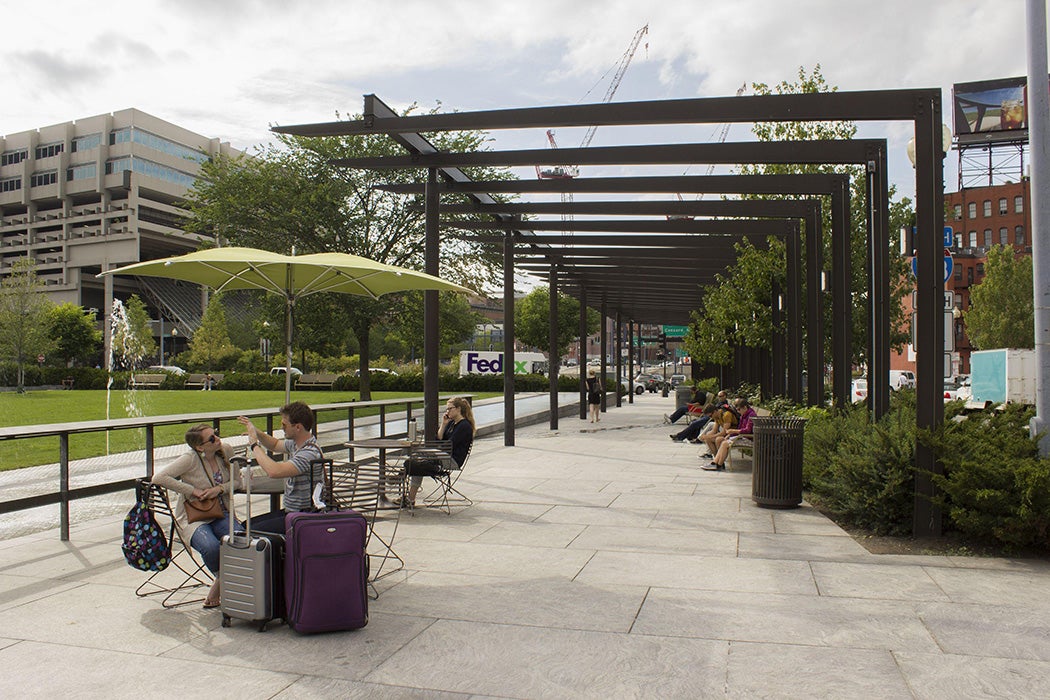
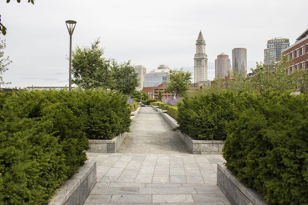
Architects J. Meejin Yoon and Meredith Miller also question the historical legacy of the Greenway’s urban design and what it was trying to “fix.” They interpret the space as
[a]pplied like a green salve to the six-lane gash that divided the city, the linear park promised an improved public realm as payback for the poorly realized ambitions of the 1960s highwayfication. The resulting swath of open space, however, retains the memory of the old Artery through its singular figure; while no longer a physical barrier, the resulting “urban void” rearticulates the zone of separation between adjacent neighborhoods.
The Greenway, while intended as an inclusive public space, still bears the imprint of the highway it replaced. The legacy of “highwayfication,” particularly the destruction of minority neighborhoods, endures even after the inflicting highways themselves have been removed.
Weekly Newsletter
"*" indicates required fields
Connecting to both local and national history, the Greenway was named for Rose Fitzgerald Kennedy to honor the Kennedy family’s ties to Boston. Rose was born in Boston. Her father, John F. Fitzgerald, served as Boston’s mayor twice in the early 1900s. She later became the matriarch of one of America’s best-known political families, including President John F. Kennedy, Senator Robert F. Kennedy, and Senator Edward “Ted” Kennedy. It was Ted Kennedy who helped establish the Greenway in honor of his mother.
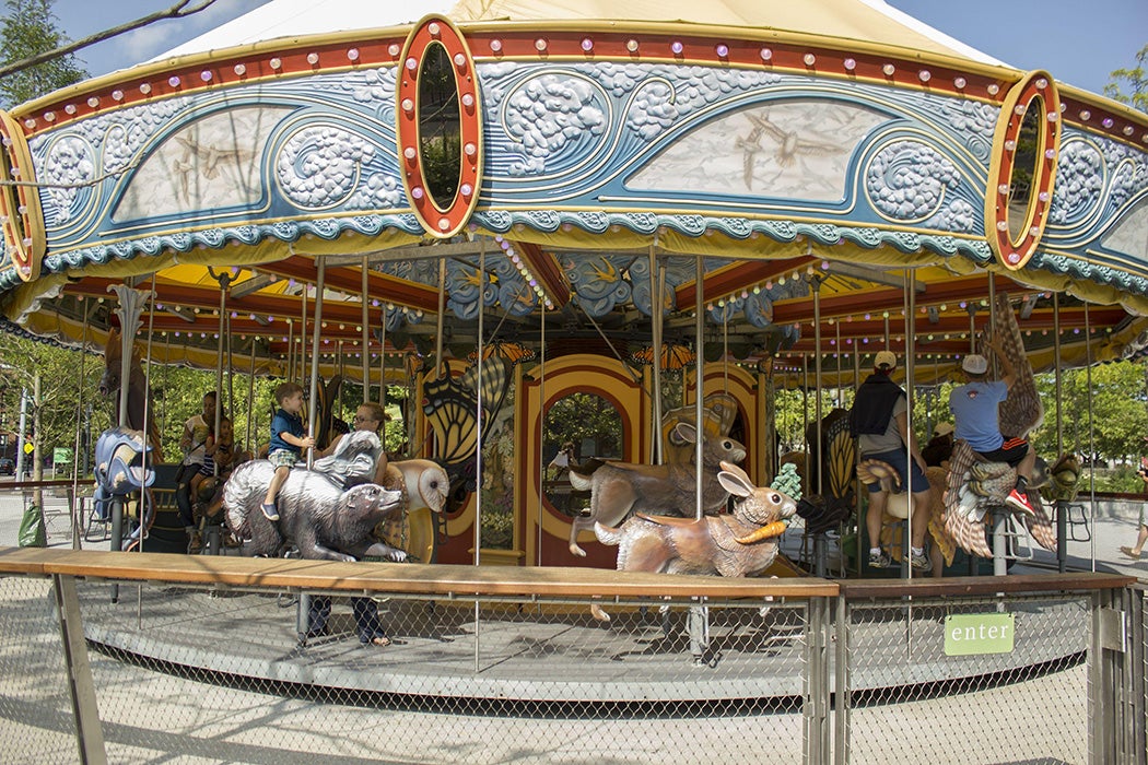
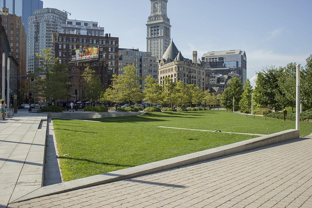
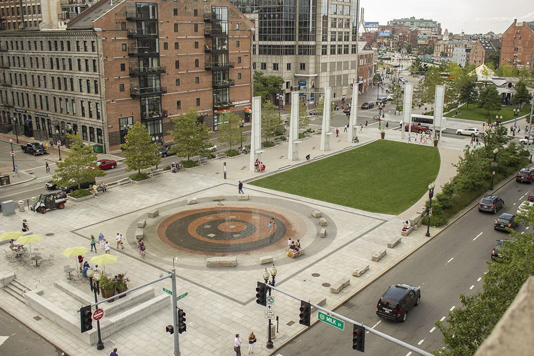
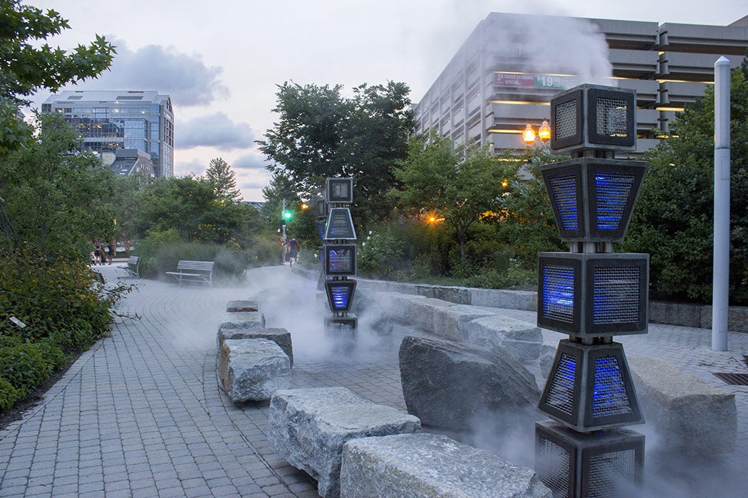
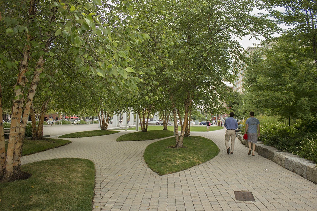
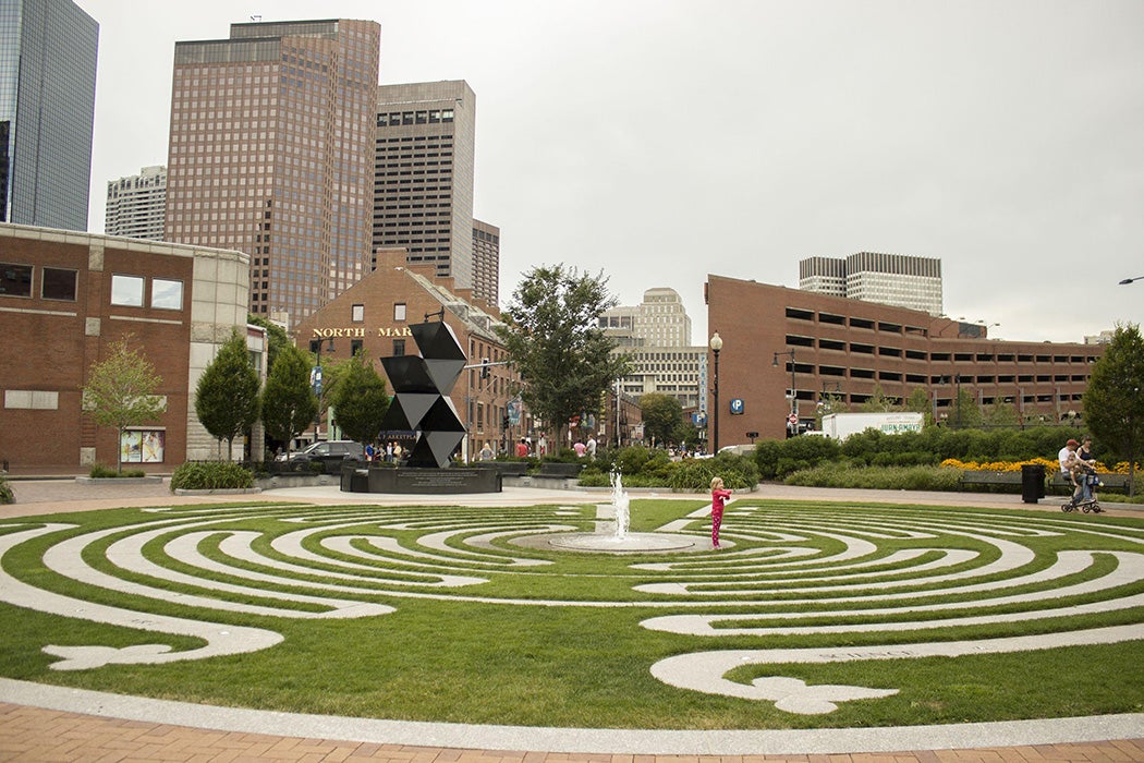
While professor and landscape architect Heidi Hohmann identifies many of the same criticisms of the Greenway, she ends her review on a softer note. She opines that although the Rose Kennedy Greenway is not perfect, it is “a lot more like its namesake: well mannered and well manicured, ambitious yet hard to dislike.”
For the Classroom
- The Greenway was designed to reconnect neighborhoods divided by an elevated highway, yet many critics argue that roads and traffic still shape how people move through the space. How should we evaluate whether a city has truly repaired the effects of past urban planning decisions?
- Looking only at the images, where do you see connections between neighborhoods, and where do you still see barriers? How do the photographs support or complicate the critics’ arguments about whether the Greenway truly “reconnects” Boston?
- Imagine these photographs were your only historical sources. What conclusions could you confidently draw about the Greenway? What important questions would remain unanswered?